Stanislaus National Forest
STANISLAUS INDEX
898,000 Acres • 78 Lakes • 811 Miles of Streams & Rivers • Est. 1897 1100 Miles of Trails • North and West of Yosemite NP
Planning a visit? For detailed information on current restrictions and closures in this national forest, visit the official USFS Stanislaus National Forest website.
The Stanislaus National Forest is located in the central Sierra Nevada. There you can fish in over 800 miles of rivers and streams, enjoy a comfortable cabin, stay in a campground, or hike into the backcountry seeking pristine solitude. You can swim near a sandy beach or wade into cold clear streams cooling your feet while lost in the beauty of nature, raft the exciting and breath-taking Tuolumne River, or canoe one of the many gorgeous lakes. You can ride a horse, a mountain bike or a snowmobile. Clearly the choice is yours in the special places of the Stanislaus National Forest.
BE PREPARED
Purchase printed maps of Stanislaus National Forest
Free shipping included in purchase price.
-
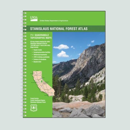
Stanislaus National Forest Atlas
$25.95 -
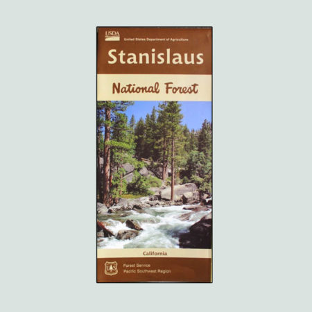
Stanislaus National Forest Recreation Map
$16.20 -
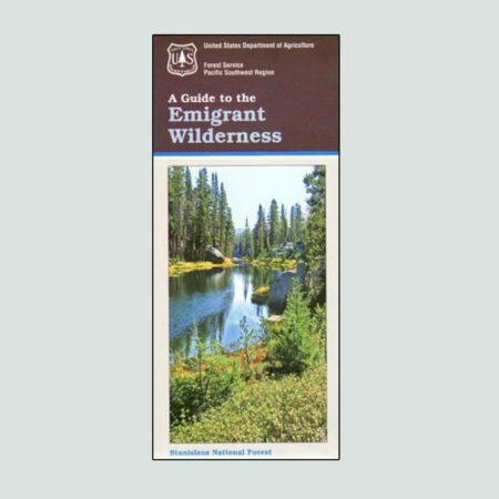
Emigrant Wilderness Map
$14.20 -
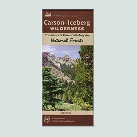
Carson Iceberg Wilderness Map
$14.20 -
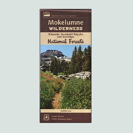
Mokelumne Wilderness Map
$14.20 -
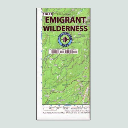
Tom Harrison Maps – Emigrant Wilderness
$13.15 -
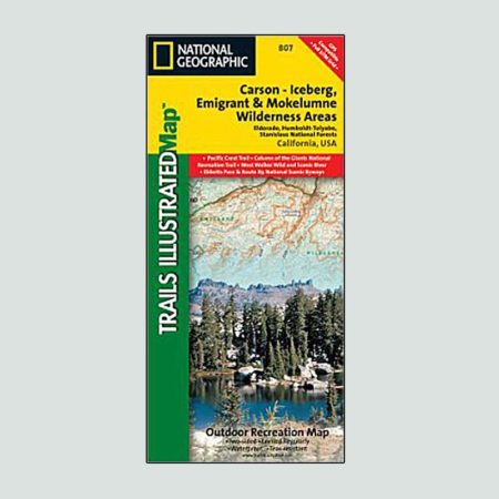
National Geographic Map of Carson-Iceberg, Emigrant, and Mokelumne Wilderness Areas
$14.15 -
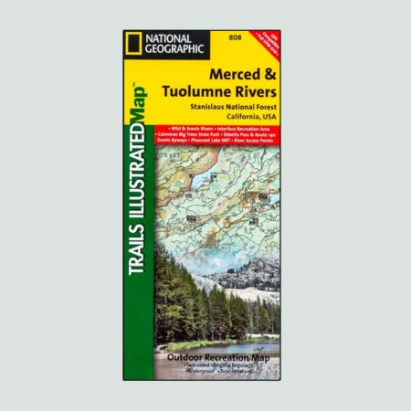
National Geographic Map of the Merced and Tuolumne Rivers
$14.15
North and West of Yosemite
The Stanislaus National Forest is located on Yosemite National Park’s northwest boundary. Visitors can access this Forest via CA-4 , CA-108, and CA-120. It is about a 3.5 hour drive from the Bay Area.

Message Us
Questions about 3FIA and our Work? Message us Below.
Three-Forests Interpretive Association
30330 Watts Valley Road
Tollhouse, CA 93667
